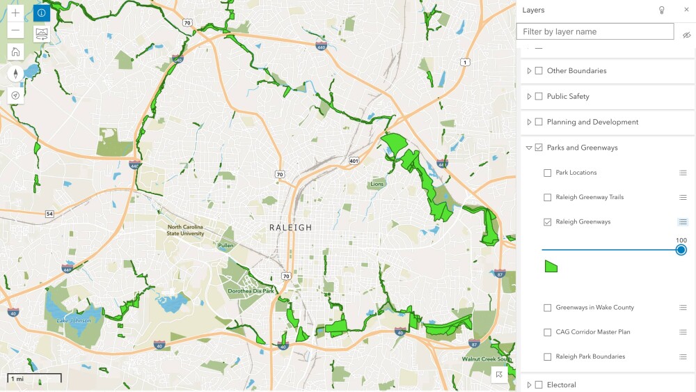
What in the world is a GIS mapping system and how is it helpful? The city’s Geographical Information Services (GIS) is an online collection of interactive and downloadable maps + applications created to help citizens view civic data like road names, greenways, and flood zones.
Wake County GIS + Raleigh GIS recently launched an updated version of their iMAPS application — an interactive GIS mapping tool that provides easy access to property information. Users are able to look up properties by owner name, address, place of interest or intersection + retrieve a variety of maps and information. Take a look at the new updates to iMAPs here.
When using iMAPS, the application has over 30 different layers that populate on the right side of the site. Much like choosing the ingredients for a sandwich, users can pick between different layers to appear in their map. We’re ordering the Raleigh Greenway Trails (RGT) sandwich. 😋
As Raleigh continues to grow, looking at specific layers like parcels or zoning may be helpful to community members wanting to learn about a particular development.
GIS datasets are also available through Raleigh Open Data. Users may download maps for their own analysis in Excel or custom GIS software. Pro tip: If there’s a dataset not on the site that someone would like access to, it’s possible to make a request for the data, though access is not promised.

